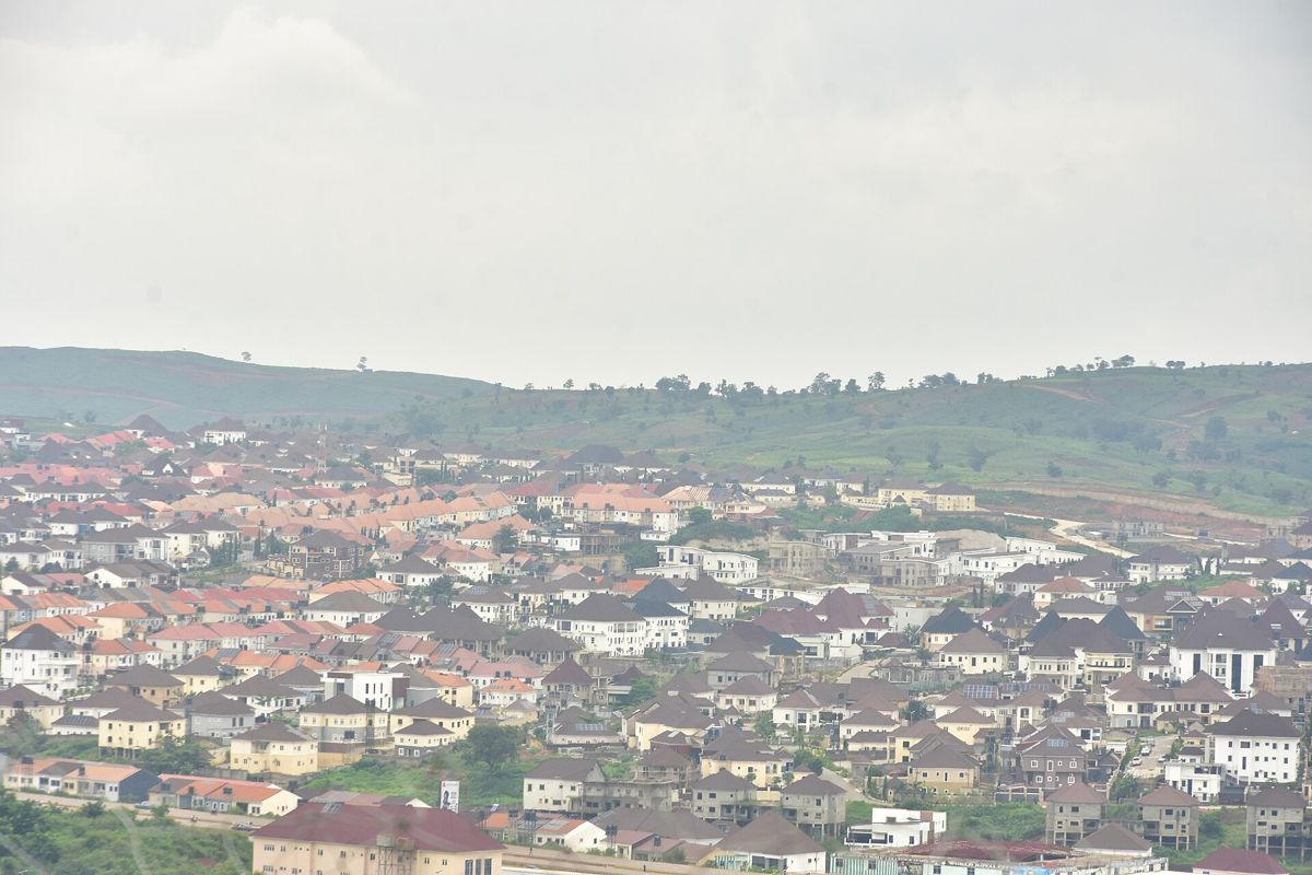
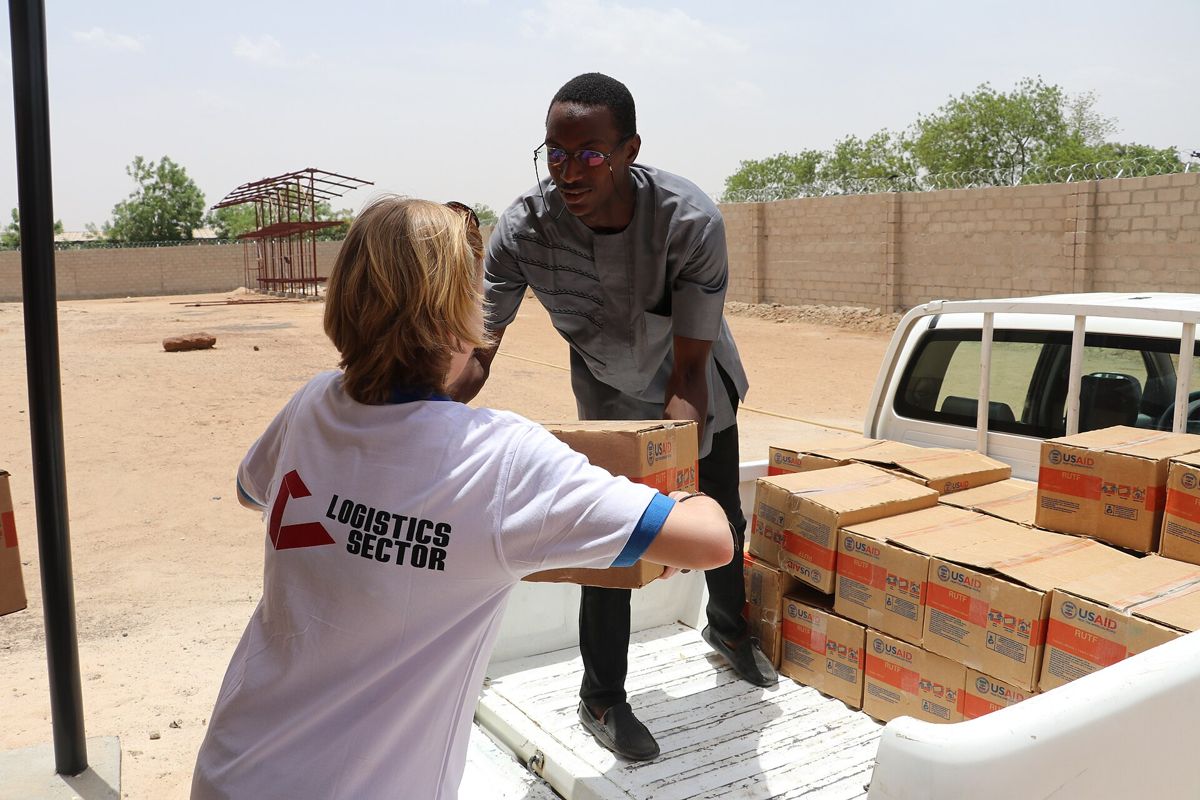
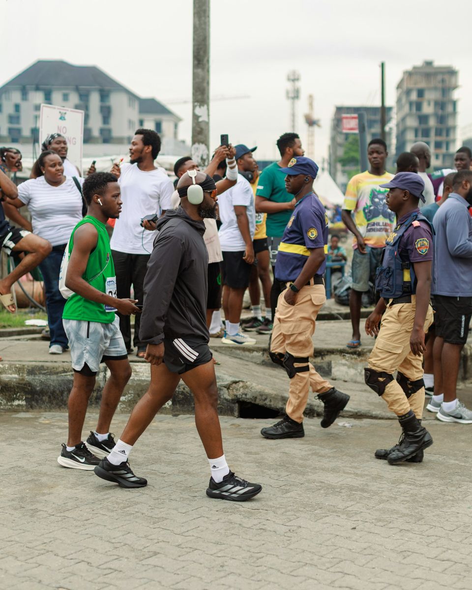
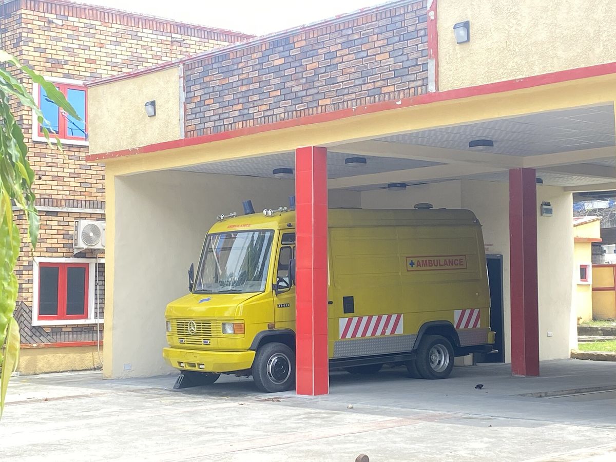
Families, estates, fleets, field teams and responders all need the same thing: to know what is happening nearby, early enough to do something about it. Every plan includes analytics, shaped around what each of them needs to see.
Free plan
Families & individuals
Know what is happening around you and the people you love.
Live alerts for the places you care about, and a private circle that knows when you are safely home.
Proximity alerts that arrive with the app closed
Family Circles with a live member map
Walk With Me and scheduled check-ins that escalate
Route Corridor Index: check the road home before you set off
Analytics: Safety trends for home, work and school, and how your circle’s journeys and check-ins have gone
Estate plan
Estates & residents’ associations
Run the gate, the group chat and the dues book in one place.
Give residents one feed for notices and incidents, and give guards a reliable way to check who is coming in.
Community feeds, broadcasts, attendance and dues
Estate Command: unit claims and gate passes
Offline code scanning at the gate, no signal needed
Analytics: Incident trends around the estate, gate traffic by day and hour, and dues and attendance at a glance
Organisation plan
Logistics & fleets
See what is on the road before your drivers reach it.
Check the corridor before a trip, follow it while it runs, and hear about it when something goes wrong.
Route Corridor Index for the road actually being taken
Suggested safe routes that steer drivers around reported incidents
Trip monitoring for stops and route changes
Analytics: Risk by corridor and time of day, and incidents along past trips
Organisation plan
NGOs & field teams
Duty of care for staff working away from base.
Know where your people are going, whether they arrived, and what has been reported near them.
Geofences around sites and project areas
Safe routes between base and the field
Check-ins that escalate when nobody answers
Area alerts on every location your team works in
Analytics: Incident trends for every project area, plus check-in and arrival records for field staff
Organisation plan
Private security firms
Better tools for the guards you already deploy.
Verify visitors at the gate, keep residents informed, and respond with the same picture the community sees.
Gate pass verification, online or offline
Live incident map around every site you cover
Direct broadcasts to the communities you protect
Analytics: Incident patterns around each site you cover, and gate verification logs to report back to clients
Government plan
Government & emergency services
Hear from the public while it is still happening.
Corroborated reports from people on the scene, with photos and video, mapped as they come in.
Real-time heat maps of reported activity
A direct line to dispatch teams
Historical incident data for any area
Analytics: Hotspots, incident trends by area and type, and how reports change over weeks and months
Organisation plan
Newsrooms & researchers
Find the story and check it with the people who were there.
Every report is confirmed or disputed by nearby users, with media attached, before it is treated as verified.
Consensus verification on every report
Photo and video evidence from the scene
Data access through the Wahala API (coming soon)
Analytics: Incident trends by area and type over time, with verification rates behind every figure
Community plan
Schools & campuses
Know when students arrive, leave, and when something is nearby.
Parents and staff see arrivals and departures, and everyone hears about trouble close to campus.
Saved Places for arrival and departure notices
Route Corridor Index: check the school run before it starts
Geofences around the campus boundary
Proximity alerts for incidents near the school
Analytics: Incident trends near campus, and arrival and departure patterns across the term
Not sure which plan fits?
Tell us who you are protecting and where. We will point you to the right setup.